![]()
Back in October, Georgia Tech introduced an app called CycleAtlanta. The app allows city planners and bicycle advocates know where bicyclists are traveling in order to improve the infrastructure in our city. Well the early results are in. Check out the images below to see where cyclists have been traveling in our city. Keep in mind that this data is pretty raw, but the results are still very interesting.
Click the Pic for a Larger View

City-wide bike patterns. The thicker the line, the more frequent the travel.
There is a pretty strong presence in midtown and downtown Atlanta as well as east towards the Eastside Trail and Freedom Parkway.

Detail of Midtown.
Notice how Spring street has almost no bike traffic and despite the fact that West Peachtree has a dedicated lane, traffic is low there as well. That’s because the West Peachtree lane is far too narrow to be safe and cars travel very fast on that road. I was surprised to see how many people use Peachtree Street though. I don’t like Peachtree Street, although I use it very often because it is the safest way to travel North/South across 10th street.

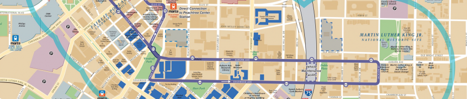
Downtown Atlanta.
There is not as much traffic downtown as I would have thought. Although, because this is a Georgia Tech app, it should not be surprising that a lot of early adopters ride in midtown.

Eastside.
It is awesome to see how thick and red the Eastside trail is. That is some solid evidence that building good bike infrastructure will encourage ridership.
This is just the first round of early data coming from CycleAtlanta. Thanks to Chris Le Dantec and his team at CycleAtlanta for putting this data together. It is very exciting to see some tangible evidence of Atlanta’s cycling presence. I look forward to more results and data coming out of the project in the future.
